

Differential Global Positioning System (DGPS) is a technique that improves the accuracy of GPS positioning by using a network of fixed ground-based reference stations to broadcast the difference between their own GPS measurements and the known, accurate location of the reference station. This difference, called the differential correction, is then used to correct the GPS measurements of a mobile receiver, improving its accuracy to within a few centimeters.
DGPS is used in a wide variety of applications, including surveying, construction, agriculture, and transportation. In surveying, DGPS is used to create accurate maps and plans, and to establish property boundaries. In construction, DGPS is used to accurately position heavy machinery, such as bulldozers and excavators, and to ensure that structures are built to the correct specifications. In agriculture, DGPS is used to precisely plant crops and to apply fertilizers and pesticides. In transportation, DGPS is used to track the location of vehicles and to guide them through traffic.
DGPS works by using a network of fixed ground-based reference stations to broadcast the difference between their own GPS measurements and the known, accurate location of the reference station. This difference, called the differential correction, is then used to correct the GPS measurements of a mobile receiver, improving its accuracy to within a few centimeters.
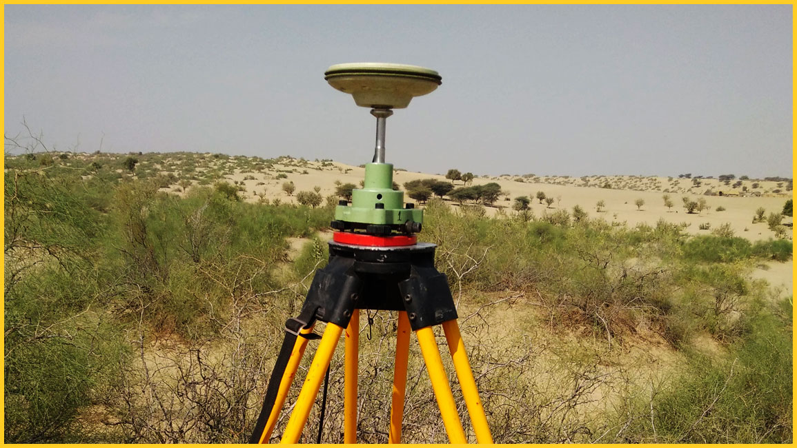
The reference stations in a DGPS system are typically located in areas with good GPS reception, such as open fields or rooftops. The reference stations are equipped with GPS receivers and computers. The computers collect the GPS measurements from the receivers and calculate the differential correction. The differential correction is then broadcast to the mobile receiver using a variety of methods, such as radio, cellular, or satellite.
The mobile receiver in a DGPS system is typically a handheld device or a vehicle-mounted unit. The mobile receiver collects GPS measurements and uses the differential correction to improve its accuracy. The mobile receiver can then be used to collect data, such as the location of points, the distance between points, or the area of a region.
There are several reasons why we need DGPS surveying.

There are many benefits to using DGPS surveying. Some of the most important benefits include:
DGPS surveying is used in a wide variety of applications, including:
DGPS surveying is a valuable tool that can be used in a wide variety of applications. It can improve the accuracy, reduce the cost, and increase the productivity of surveying projects. If you are considering a surveying project, DGPS surveying is a great option to consider.