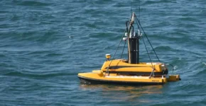
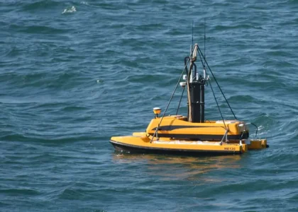
Geographic Information Systems (GIS) Geoinformatics Global Positioning System (GPS) Marine Survey Photogrammetry SurveyingAdvanced Imaging Technologies in Marine Surveys for Detailed Assessments Feb 24, 2024 akengineeringservicesComment on Advanced Imaging Technologies in Marine Surveys for Detailed Assessments The ocean holds a vast and mysterious world, teeming with life and resources, yet cloaked
Geographic Information Systems (GIS) Geoinformatics Global Positioning System (GPS) Land and Road Surveys land surveying Photogrammetry Remote sensing Surveying Surveying MethodsUnlocking Hidden Insights: How Geoinformatics Revolutionizes Decision-Making with Thematic Mapping Feb 19, 2024 akengineeringservicesComment on Unlocking Hidden Insights: How Geoinformatics Revolutionizes Decision-Making with Thematic Mapping Imagine unveiling a secret code woven into the very fabric of our planet. This code,