The ocean holds a vast and mysterious world, teeming with life and resources, yet cloaked in layers of secrecy. Unraveling its secrets requires advanced tools, and that’s where marine surveys equipped with cutting-edge imaging technologies come into play. These surveys go beyond mere mapping; they act as underwater microscopes, providing detailed insights into the health, composition, and structure of the marine environment.
Seeing the Unseen: A Palette of Imaging Techniques
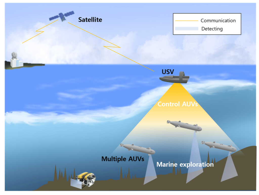
Imagine an oceanographer not just looking at the surface, but peering through the depths with multibeam sonar, revealing intricate seafloor topography and hidden underwater structures. This is just one example of the diverse imaging technologies employed in marine surveys. Each technique offers a unique perspective, creating a comprehensive picture of the ocean’s hidden realms.
- Multibeam sonar: Like an underwater ultrasound, it paints a detailed picture of the seafloor, revealing valleys, ridges, shipwrecks, and even delicate coral formations.
- Side-scan sonar: Imagine looking sideways and seeing everything in amazing detail. That’s side-scan sonar, scanning vast areas of the seafloor like a high-resolution underwater camera.
- Submersibles and ROVs: These robotic explorers venture into the depths, capturing high-resolution images and videos of marine life, ecosystems, and potential hazards.
- Remotely Operated Vehicles (ROVs): Equipped with cameras, sensors, and robotic arms, these underwater drones gather valuable data and conduct inspections.
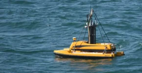
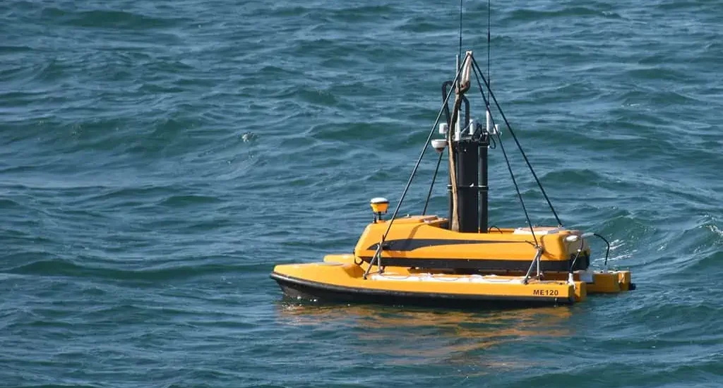
- Autonomous Underwater Vehicles (AUVs): These self-piloting robots autonomously map vast areas, collecting data without human intervention.
Beyond the Images: Unveiling Deeper Insights
The power of these technologies lies not just in the images they capture, but in the wealth of information they unlock. This information empowers diverse industries to make informed decisions:
- Offshore energy: Precise seafloor mapping aids in the safe and sustainable development of offshore wind farms and oil & gas reserves.
- Conservation and fisheries: Detailed data helps in monitoring endangered species, understanding habitat dynamics, and managing sustainable fishing practices.
- Infrastructure development: Submarine cables, pipelines, and ports require comprehensive seabed assessments for safe and efficient construction.
- Maritime archaeology and research: Unveiling shipwrecks, ancient settlements, and geological formations sheds light on history and environmental changes.
Collaboration for a Clearer Picture: Combining Technologies
No single technology offers the complete picture. The true power lies in combining them. Imagine using multibeam sonar to map the seafloor, then sending an ROV to visually inspect a specific area identified in the sonar data. This collaborative approach provides a multifaceted understanding of the marine environment.
The Future of Clarity: Emerging Trends in Imaging
The future of marine surveys is bright, driven by continuous advancements in imaging technologies:
- Artificial intelligence (AI): Analyzing vast datasets from multiple sources to identify patterns, predict potential risks, and make informed decisions.
- Machine learning: Automating data analysis, allowing for faster and more efficient interpretation of complex data sets.
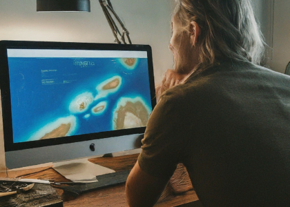
- High-resolution 3D imaging: Creating detailed and immersive models of the marine environment, enabling virtual exploration and analysis.
Investing in Clarity: The Value of Advanced Imaging
While advanced imaging technologies require initial investment, the benefits outweigh the costs:
- Reduced risks: Detailed data helps avoid costly accidents during infrastructure development and resource exploration.
- Environmental sustainability: Informed decision-making minimizes environmental impact and promotes sustainable practices.
- Improved efficiency: Precise data streamlines operations, saving time and resources.
- Scientific discoveries: Unveiling new insights into the ocean ecosystem, leading to groundbreaking discoveries and advancements.
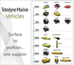
Choosing the Right Tool for the Job: Finding the Perfect Partner
With diverse technologies and service providers, choosing the right partner is crucial. Consider these factors:
- Expertise: Choose a company with experience in your specific industry and geographical area.
- Technology: Ensure they possess the latest technologies and tools relevant to your project needs.
- Data analysis and interpretation: Look for partners who offer comprehensive data analysis and interpretation capabilities.
- Safety and regulations: Opt for a company with a strong commitment to safety and adherence to relevant regulations.
Conclusion: Unlocking a Brighter Future with Clarity
By embracing advanced imaging technologies, marine surveys are transforming from data collection to knowledge acquisition. This detailed understanding of the underwater world empowers us to make informed decisions, protect our oceans, and unlock a brighter future for generations to come.