A topographical survey is a process of measuring and mapping the natural and man-made features of a specific area. This type of survey is used to create a detailed map of the land, including its elevation, contours, and other features. Topographical surveys are used for a variety of purposes, including:
- Planning and designing construction projects
- Developing land for development
- Assessing the impact of development on the environment
- Providing information for insurance purposes
- Settling boundary disputes
Types of Topographical Surveys
There are two main types of topographical surveys:
- Conventional surveys: These surveys use traditional methods, such as using a total station, to measure the land.
- Remote sensing surveys: These surveys use technology, such as aerial photography or satellite imagery, to measure the land.
Equipment Used in Topographical Surveys
The equipment used in topographical surveys varies depending on the type of survey being conducted. However, some common equipment used in topographical surveys includes:
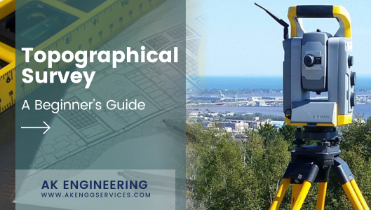
- Total stations: Total stations are used to measure angles and distances.
- Levels: Levels are used to measure elevations.
- Theodolites: Theodolites are used to measure angles.
- GPS receivers: GPS receivers are used to determine the location of points on the land.
- Aerial photography: Aerial photography is used to create a bird’s-eye view of the land.
- Satellite imagery: Satellite imagery is used to create a more detailed view of the land than aerial photography.
Procedure for Conducting a Topographical Survey
The procedure for conducting a topographical survey varies depending on the type of survey being conducted. However, some common steps involved in conducting a topographical survey include:
- Planning the survey: The first step is to plan the survey. This includes determining the purpose of the survey, the area to be surveyed, and the equipment to be used.
- Accessing the site: The next step is to access the site. This may involve hiking, driving, or flying to the site.
- Setting up the survey equipment: Once the site has been accessed, the survey equipment must be set up. This includes setting up the total station, level, theodolite, and GPS receiver.
- Measuring the land: Once the equipment is set up, the land is measured. This includes measuring the elevation, angles, and distances.
- Recording the data: The data collected during the survey must be recorded. This may be done by hand or by using a computer.
- Processing the data: The data collected during the survey must be processed. This includes creating a map of the land.
- Presenting the results: The results of the survey must be presented. This may be done by creating a report or by giving a presentation.
Benefits of Topographical Surveys
Topographical surveys offer a number of benefits, including:
- They provide a detailed map of the land.
- They can be used to identify potential hazards, such as sinkholes or landslides.
- They can be used to assess the impact of development on the environment.
- They can be used to provide information for insurance purposes.
- They can be used to settle boundary disputes.
Conclusion
Topographical surveys are a valuable tool for a variety of purposes. If you are considering conducting a topographical survey, be sure to consult with a professional surveyor to ensure that the survey is conducted properly and that the results are accurate.


